Heatwave Situation for Friday, Saturday, & Sunday (3 days starting 3/01/2025)
Severe to low intensity heatwave conditions through parts of southern NSW, parts of the Kimberley and the North Interior in WA, parts of northwestern SA, parts of central and eastern Victoria, and parts of northern and eastern Tasmania including the Furneaux Islands.
Low intensity heatwave conditions through parts of the ACT and southern and western NSW, parts of the Cape York Peninsula and western Queensland, parts of the eastern Top End and western and southern NT, much of northern WA, SA, Victoria and Tasmania.
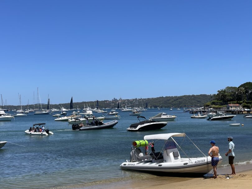
Forecast for the rest of Saturday 4 january
- Summary
![]()
- Max 29
- Sunny.
- Chance of any rain: 0%
Sydney area
Sunny, becoming mostly sunny in the west this afternoon. Slight chance of a shower and the chance of a thunderstorm in the west this afternoon and early evening, possibly severe. Light northerly winds becoming northeasterly 20 to 30 km/h in the afternoon, reaching up to 40 km/h along the coastal fringe, then becoming light in the late evening.
Fire Danger – Moderate
Sun protection recommended from 8:40 am to 5:10 pm, UV Index predicted to reach 11 [Extreme]
Sunday 5 January
- Summary
![]()
- Min 20
- Max 31
- Sunny.
- Chance of any rain: 5%
Sydney area
Mostly sunny. Slight chance of a shower in the outer west, near zero chance elsewhere. The chance of a thunderstorm. Light winds becoming northeasterly 15 to 25 km/h in the middle of the day then becoming light in the late evening.
Sun protection recommended from 8:40 am to 5:10 pm, UV Index predicted to reach 12 [Extreme]
Monday 6 January
- Summary
![]()
- Min 21
- Max 33
- Mostly sunny.
- Chance of any rain: 20%
Sydney area
Mostly sunny morning. Slight chance of a shower in the afternoon and evening. The chance of a thunderstorm in the afternoon and evening. Light winds becoming north to northeasterly 15 to 20 km/h during the day then tending northeast to southeasterly 15 to 25 km/h during the afternoon.
Sun protection recommended from 8:40 am to 5:00 pm, UV Index predicted to reach 11 [Extreme]
Tuesday 7 January
- Summary
![]()
- Min 21
- Max 26
- Showers.
- Possible rainfall: 1 to 20 mm
- Chance of any rain: 80%

Sydney area
Cloudy. High chance of showers. The chance of a thunderstorm in the west. Winds southerly 20 to 30 km/h.
Sun protection recommended from 9:00 am to 5:10 pm, UV Index predicted to reach 11 [Extreme]
EDT Saturday.


