

Snowy Mountains Forecast-Australian Alps
09 June,2025
View the current warnings for New South Wales
Forecast issued at 5:15 am EST on Monday 9 June 2025.
Weather Situation
A low pressure system over the southern Tasman Sea is bringing unsettled conditions to the southeast. It will remain during today beginning to moving east mid week. In the west a ridge of high pressure is extending from a system broad high pressure system over Central Australia becoming the dominant feature over NSW from Tuesday. The next cold front is expected to cross the state during Thursday.

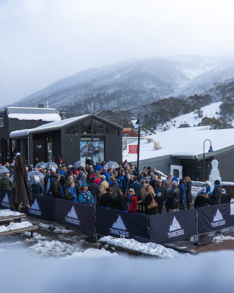
FB Image from Thredbo Resort
Forecast for the rest of Monday
Cloudy. Very high chance of showers. Snow falling above 1000 metres. Winds westerly 15 to 20 km/h turning southwesterly 20 to 30 km/h in the late morning.
- Fire Danger
- Monaro Alpine: No Rating
- Australian Capital Territory: No Rating
- Southern Slopes: No Rating
Sun protection not recommended, UV Index predicted to reach 2 [Low]
- Chance of snow
- 90% at 1800m
- 90% at 1400m
- 30% at 1000m
7 day Town Forecasts
| Precis Icon | Location | Min | Max |
|---|---|---|---|
| Perisher Valley | – | 1 | |
| Cooma | – | 10 | |
| Cabramurra | – | 1 | |
| Thredbo Top Station | – | -2 | |
| Jindabyne | – | 7 |
Tuesday 10 June
Cloudy. Medium chance of showers in the south, slight chance elsewhere. Snow possible above 1300 metres. Areas of morning frost in the north. Winds southwesterly 20 to 30 km/h turning westerly 15 to 20 km/h in the evening.
- Chance of snow
- 40% at 1800m
- 30% at 1400m
- Below 5% at 1000m
Wednesday 11 June
Partly cloudy. Areas of morning frost. Slight chance of a shower. Snow possible above 1200 metres. The chance of morning fog about the ranges. Winds westerly 15 to 20 km/h tending southwesterly 15 to 25 km/h during the morning then becoming light during the afternoon.
- Chance of snow
- 30% at 1800m
- 20% at 1400m
- Below 5% at 1000m
Thursday 12 June
Partly cloudy. Areas of morning frost. The chance of morning fog in the west. Slight chance of a shower. Snow possible above 1300 metres. Light winds.
- Chance of snow
- 30% at 1800m
- 20% at 1400m
- Below 5% at 1000m
The next routine forecast will be issued at 4:30 pm EST Monday.
Product IDN11032